- Home
- Discover the Tower
- Much More than a Tower
Iconography

The Tower, in the Museo Nacional de Escultura, Valladolid
The image of the Tower of Hercules is alive and omnipresent in the city, deeply linked to A Coruña, so much that it's difficult to talk about the city without mentioning the lighthouse.
The tower figures prominently in the coats of arms of the city council, the provincial council, the university and most of the professional cultural and sports associations of A Coruña. We can also find it on the paving slabs of the city's main streets, on the seafront lampposts, the street furniture, in the floral decorations of the gardens, adorning cakes and other dishes, or made into the Teresa Herrera trophy for the city's summer football tournament. The tower is also present in the names of streets and places throughout the city, and in the names of local businesses. Tower and city merge into one, a symbol of A Coruña's ancient past. Since June 2009, this symbol has been recognised as an asset of outstanding universal value and forms part of the UNESCO World Heritage List.

Coats of arms
From at least the end of the 15th century, the Tower of Hercules became the emblem of A Coruña, when the city council adopted it as the motif for its coat of arms. From then on, the city and the lighthouse were one and the same. The first known representations, around 1448, are very simple, but throughout the 16th century the structure of the coat of arms took shape, so that from the mid-1500s onwards all the key elements of the legend of Hercules were present.
One early depiction of the lighthouse can be found in an official document known as the Ejecutoria of 1552 by the Holy Roman Emperor Charles V, along with the Pillars of Hercules. It portrays the lighthouse on a hill overlooking a large expanse of coast. Under the foundations of the building is buried the crowned head of Geryon, which is placed on its side as the base of the tower itself. At the top of the tower is the lantern that Espan - nephew of Hercules, according to legend, who completed the construction of the lighthouse - had placed there, and the mirror, also attributed to Espan, that made it possible to sight enemy ships at a great distance. Around the lighthouse are seven scallop shells symbolising the seven provinces of the Kingdom of Galicia and, in some cases, a ciborium is depicted above the lighthouse as one of the weapons of the kingdom.
A variant of this depiction of the tower is found in a coat of arms dated between the 16th and 17th centuries, preserved in the Museo Arqueológico e Histórico del Castillo de San Antón. This representation, with minor variations, also appears in the 17th-century coats of arms found on the city hall and on the wall of the Jardín de San Carlos. In both cases, the tower is pictured with its beacon, but the tilted head of Geryon has been replaced, in the latter, by a crowned skull that is positioned upright under the base of the Tower.
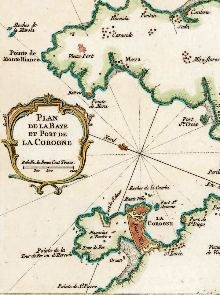
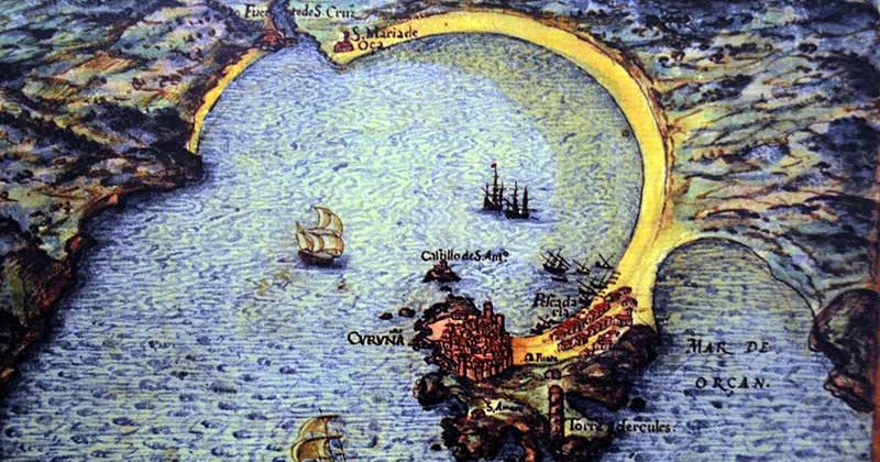
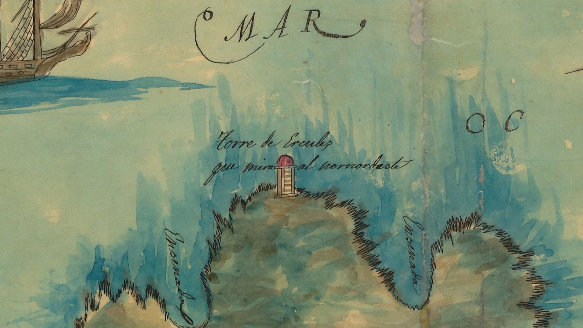
Cartography

A Coruña, map by Pedro Texeira, 17th century
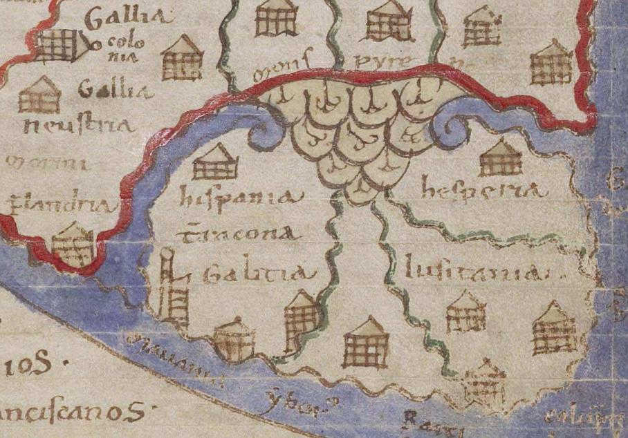
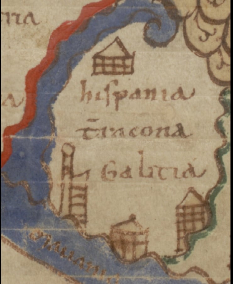
The image of the tower has very rich iconography from the High Middle Ages to the 18th century. During the High Middle Ages, when the cosmographic tradition of the ancient world was lost, and with it, interest in scientific rigour, a new type of map emerged in Mozarabic Spain: a map that painted a legendary and symbolic vision of the known world. It was in this context that the so-called mappa mundi, maps linked to the beatos, emerged. The beatos are illustrated manuscripts dating from the 10th and 13th centuries which contain Beatus of Liébana's Commentary on the Apocalypse. In this context, the world map illustrates the territories to be evangelised and their distribution among the apostles. All of the maps preserved appear to stem from the same model, hence the resemblances between them.
Following the Isidore's vision of the world, these are "oriented" maps - that is to say, the orient, or the east, is the cardinal point at the top of the map. The key of the map depicts Paradise, clearly recognisable by the iconography of Adam and Eve, the tree and the serpent. The four rivers that flow from Paradise into the peripheral sea are usually portrayed: the Tigris, Euphrates, Geon and Pheon. Asia occupies the upper part of the map and is separated from the other two continents by large waterways running south to north: the Nile, the Hellespont, the Black Sea, the Sea of Azov and the Don River. At the bottom of the map is Africa on the right and Europe on the left, separated by a tongue of water that is the Mediterranean.
Galería de mapas históricos
1125 Lambert
1125 Lambert de Saint Omer Liber Floridus Peninsula Iberica
1764, Jacques Nicollas Bellin plano de A Coruña
1764, Jacques Nicollas Bellin plano de A Coruña

1639 Juan de Santáns y Tapia
1639 Juan de Santáns y Tapia
1090-1120 Liber Floridus
1090-1120 Liber Floridus
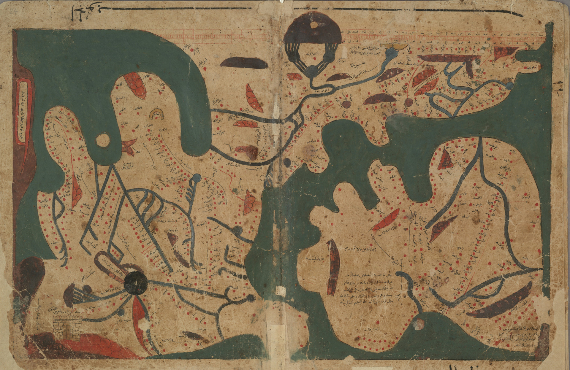
Libro de las Curiosidades de las Ciencias y Maravillas para los Ojos, SXII, Bodleian Library1
Libro de las curiosidades de las ciencias y maravillas para los ojos, SXII, Bodleian Library1
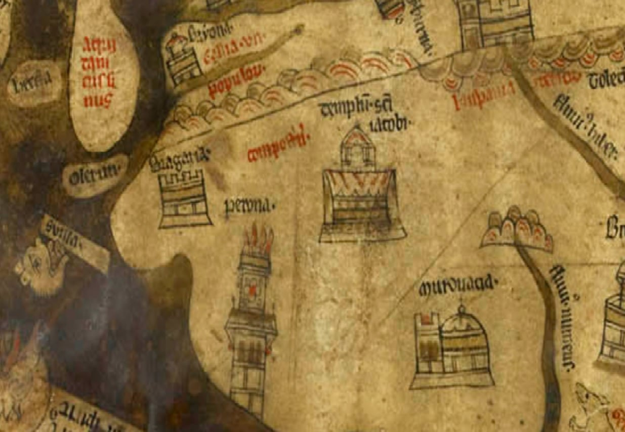
ca 1300 Mapamundi de Hereford, Catedral de Hereford
ca 1300 Mapamundi de Hereford, Catedral de Hereford
Tabula Peutingeriana
Tabula peutingeriana
1634 Pedro Teixeira
1634 Pedro Teixeira

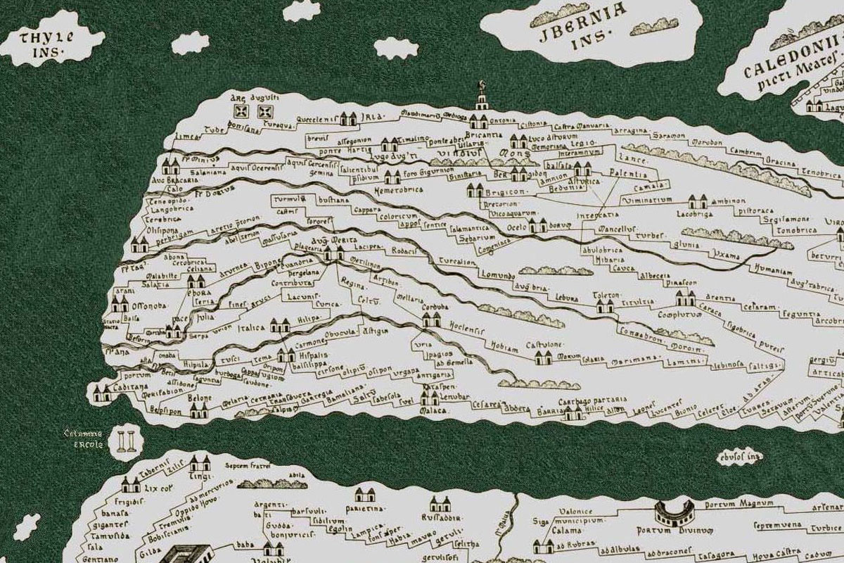
Ptolomeo Cosmographia
Ptolomeo, Cosmographia
TdeH PM FB